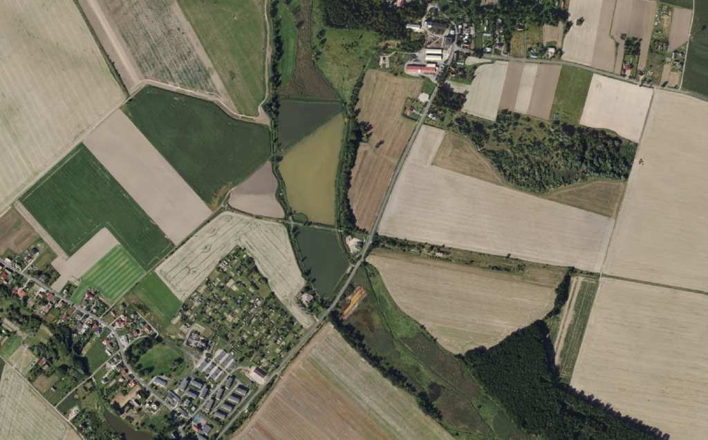
We provide quality control of spatial data sets for large areas, commissioned by government organisations.
Products subject to control are as follows:
– digital aerial and satellite orthophotomaps,
– digital terrain models and numerical land cover models,
– airborne laser scanning data as a point cloud in the LAS format,
– hydrographic maps,
– 3D structure models,
– topographic site databases,
– vector maps of Poland’s administrative division borders.
The major clients include the Agency for Restructuring and Modernisation of Agriculture, the Head Office of Geodesy and Cartography, and the National Water Management Board. The scope of data subject to control annually typically encompasses the area of the entire country (about 312k km2). In the case of the Agency for Restructuring and Modernisation of Agriculture, the data undergoes periodic updates for an area of 1/3 of Poland’s territory each year (about 104k km2).